
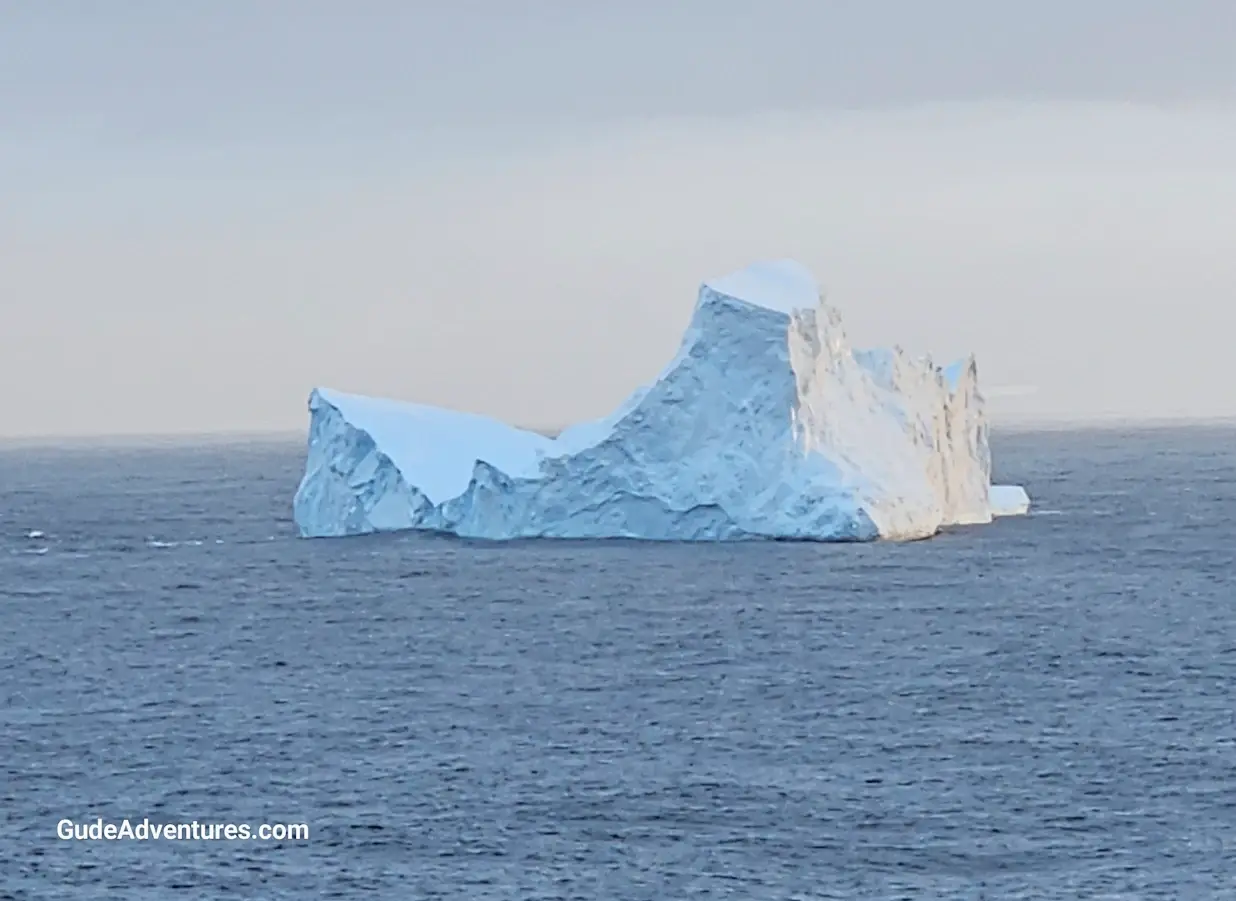
What to see and do in the Southern Ocean, Antarctica


Southern Ocean comprises the waters south of 60° South around Antarctica
The Southern Ocean is also known as the Antarctic Ocean. It comprises the waters of the world's oceans that are generally south of 60° S latitude and encircling Antarctica. James Cook, by way of his voyages in the 1770s, proved that waters of the Southern Ocean covered the southern latitudes of the globe.
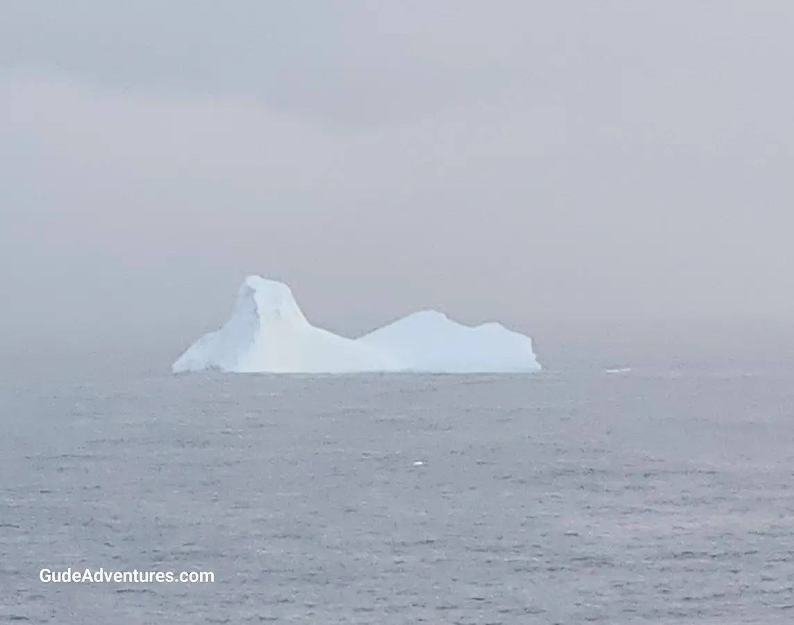
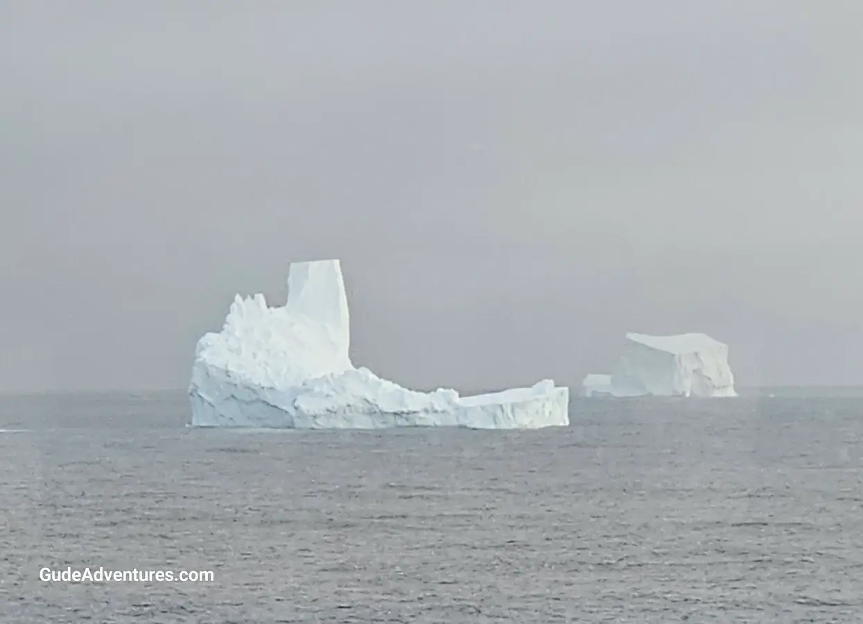
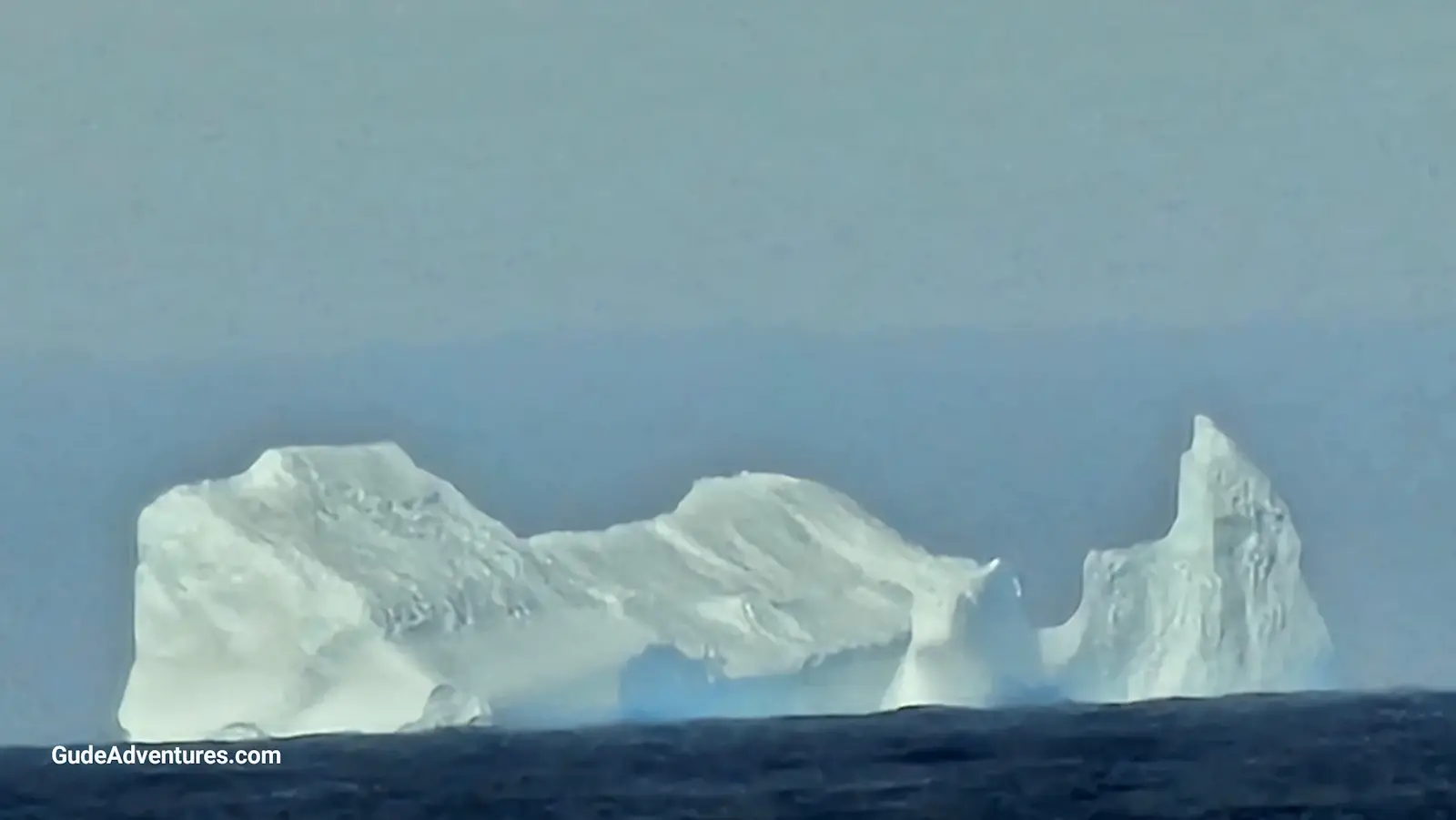
We entered the Southern Ocean after crossing the Drake Passage from Ushuaia. Almost immediately, we began seeing icebergs of all shapes and sizes. One of the icebergs that we saw was over a mile long.
The Southern Ocean was created 34 million years ago when Antarctica separated from South America. The Drake Passage now lies between the two continents. It's geological boundary is determined by the seasonally fluctuating Antarctic Convergence Zone where cold, northward flowing waters from the Antarctic begin to mix with warmer Subantarctic waters to the north.
The political boundary of the Southern Ocean is unsettled. In 1937, it was defined as extending from Antarctica northwards to latitude 40°S between Cape Agulhas in Africa (long. 20°E) and Cape Leeuwin in Western Australia (long. 115°E), and extended to latitude 55°S between Auckland Island of New Zealand (165 or 166°E east) and Cape Horn in South America (67°W). Australia defines the Southern Ocean as including the entire body of water between Antarctica and the south coasts of Australia and New Zealand, and up to 60°S elsewhere.
Viator offers numerous tours in the Southern Ocean area. Click here for details.
Pictures from Southern Ocean
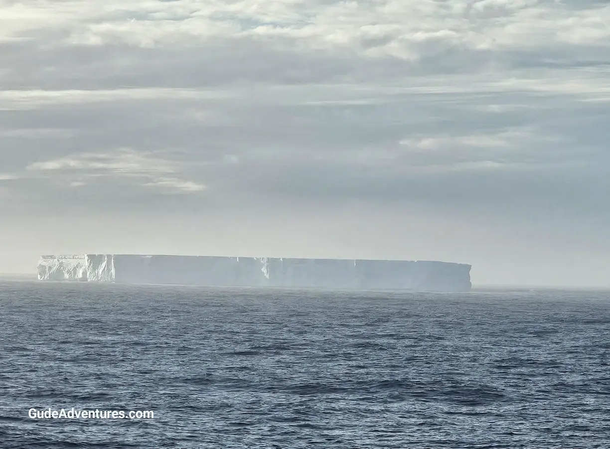
Mile long iceberg in the Southern Ocean.
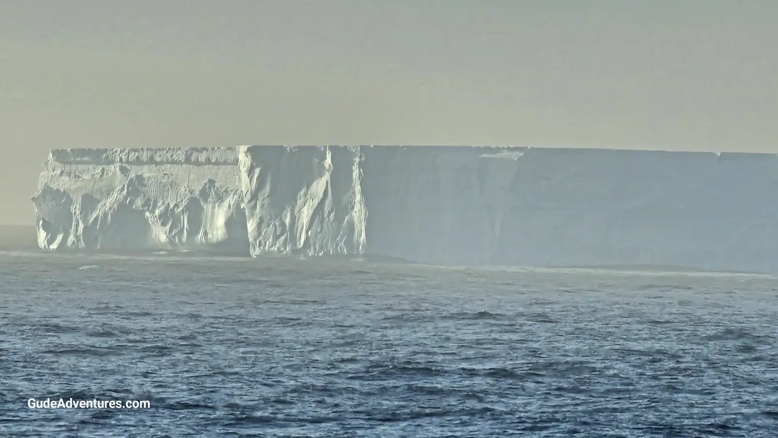
Closer view of the mile long iceberg.
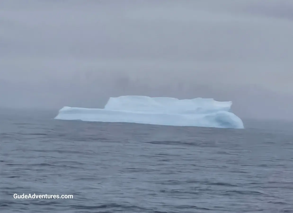
Iceberg in the Southern Ocean.
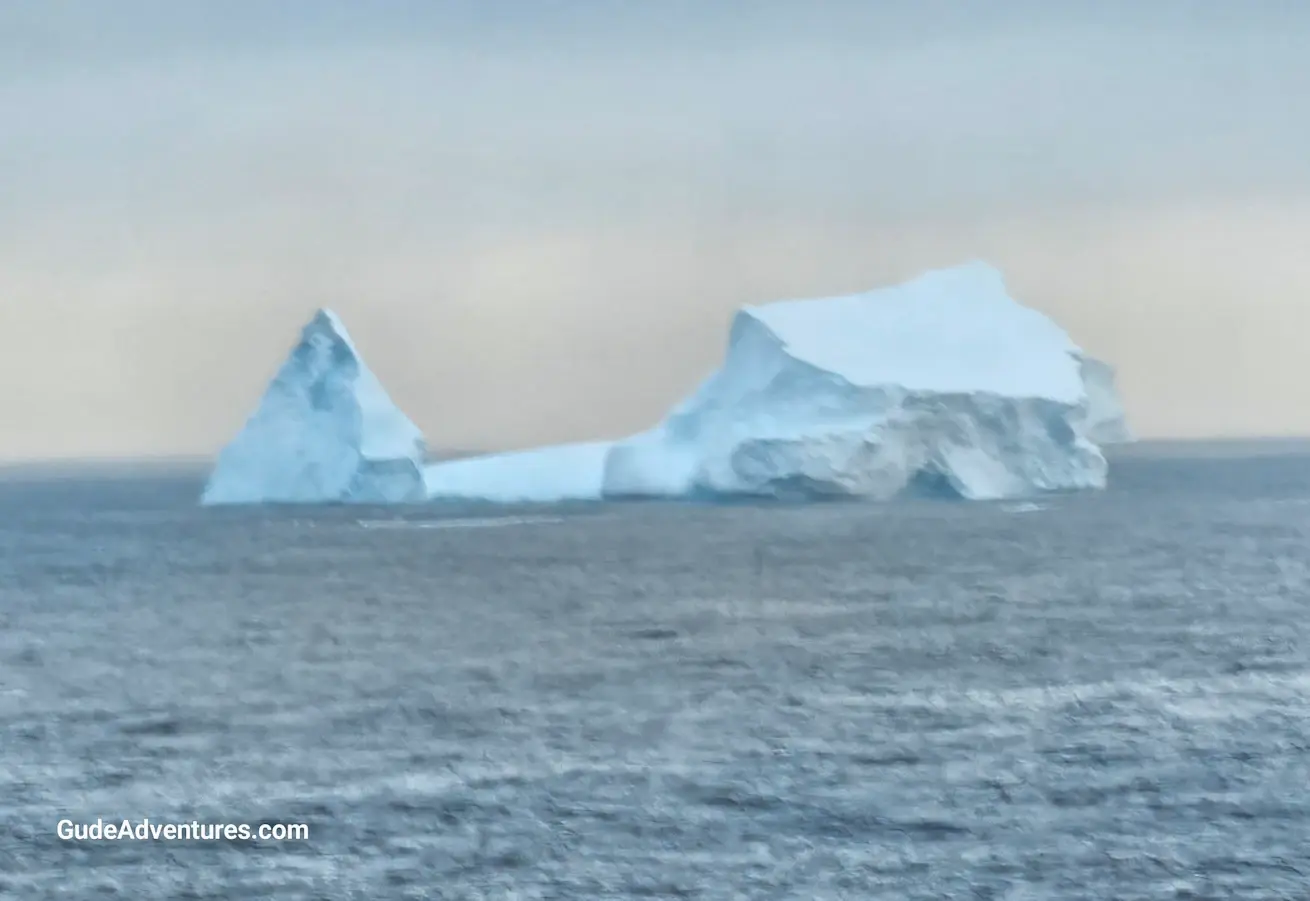
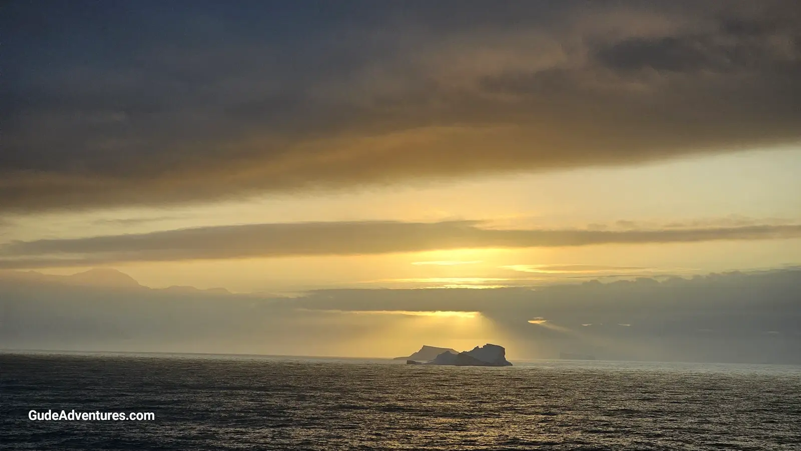
Iceberg at sunset.