
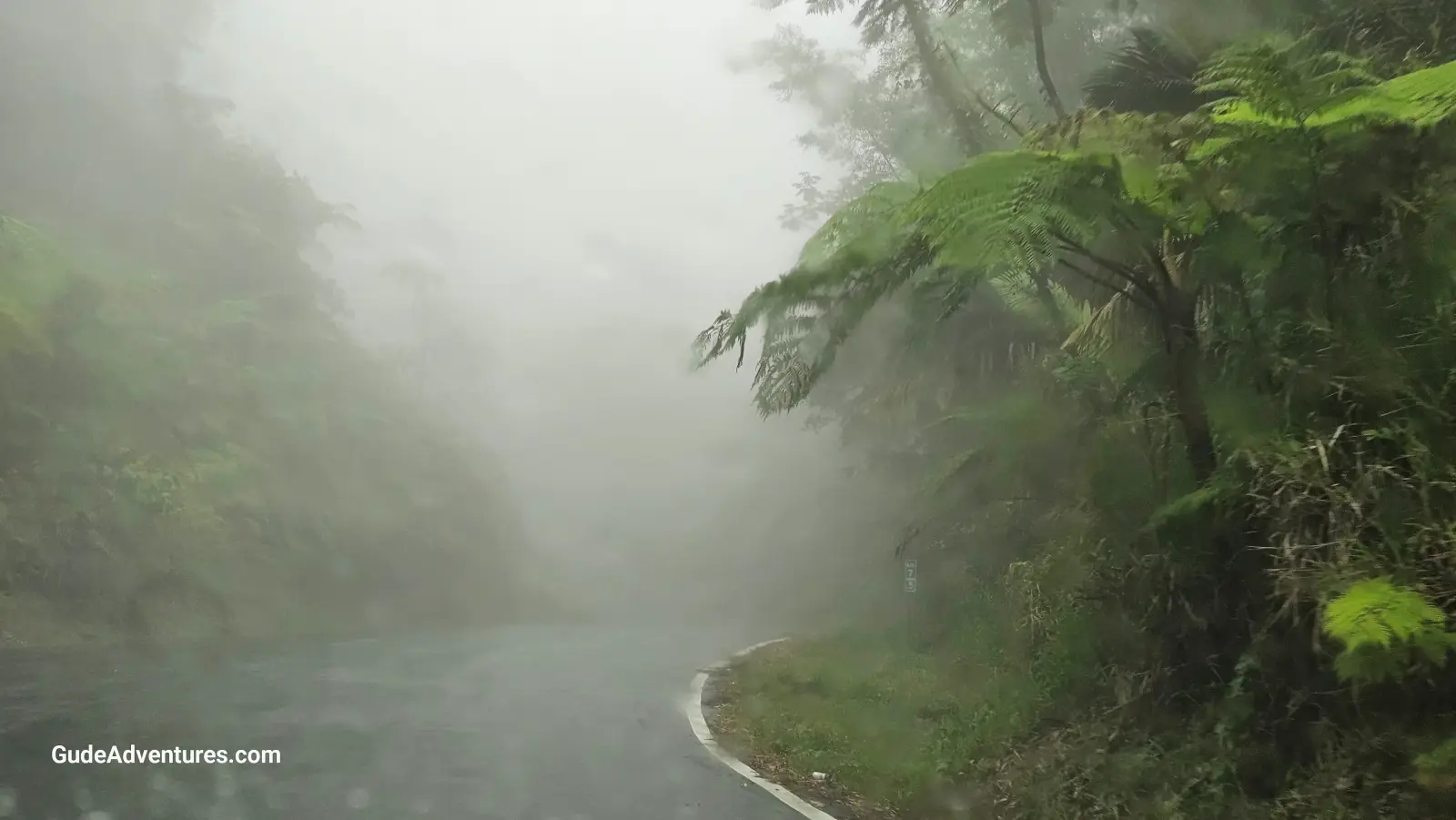

The Carite Rainforest and Charco Azul, Puerto Rico


Carite Rainforest and Charco Azul in Puerto Rico were created as a result of volcanic activity
The 6,500 acre Bosque Estatal de Carite was established to protect the basins of the Loíza, Patillas and La Plata rivers which were being affected by erosion caused by deforestation. The Caribbean mountains in the Carite State Forest were created as a result of volcanic activity that took place during the Early Cretaceous period between 79 and 144 million years ago. Cerro La Santa at 2,962 feet is the highest point in the forest.
The Ruta Panoramica (Luis Muñoz Marín Scenic Route) runs through the forest from Cayey to Patillas. On 4/9/2024, we stopped in Cayey to have lunch at one of the restaurants on the Pork highway. Afterwards, we took the Ruta Panoramica eastwards to hike towards the Charco Azul and to visit the church at Cerro La Santa. Afterwards, we continued eastward to the visit the Survivor waterfall and and the eastern end of the Ruta Panoramica in Patillas.
Charco Azul (blue pool) is one of the main attractions of the forest. This is a clear, blue-colored natural pool formed by the Charco Azul river falls, which flow into the Patillas River. It is located along PR-184 and has sites for picnics, camping and showers and restrooms for people who wish to swim in it.
Looking for a place to stay? Click here for options.
Viator offers numerous tours in this area. Click here for details.
Pictures from Carite Rainforest and Charco Azul
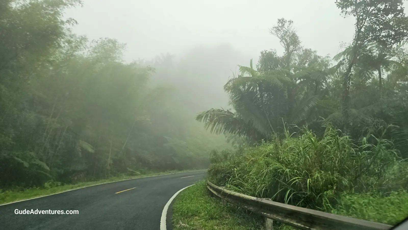
Ruta Panorámica (PR-184) through the forest.
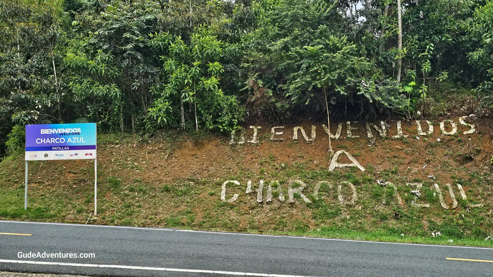
Entrance to Charco Azul.
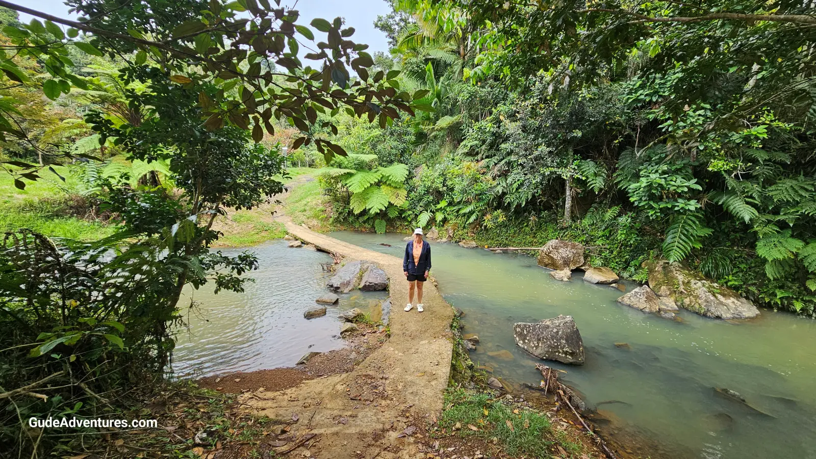
The trail to Charco Azul.
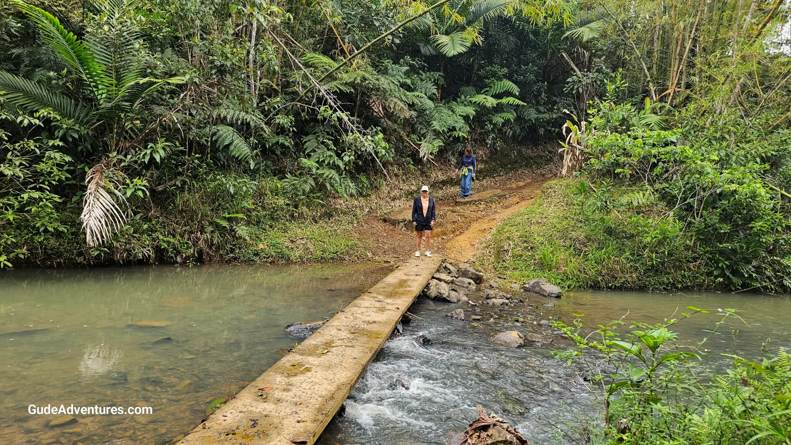
The trail to Charco Azul.
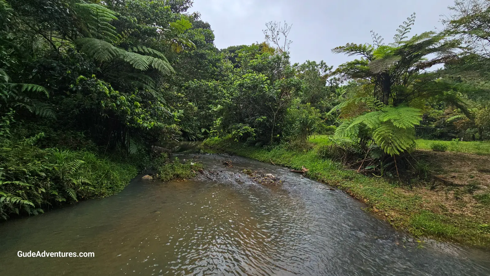
The Charco Azul river.
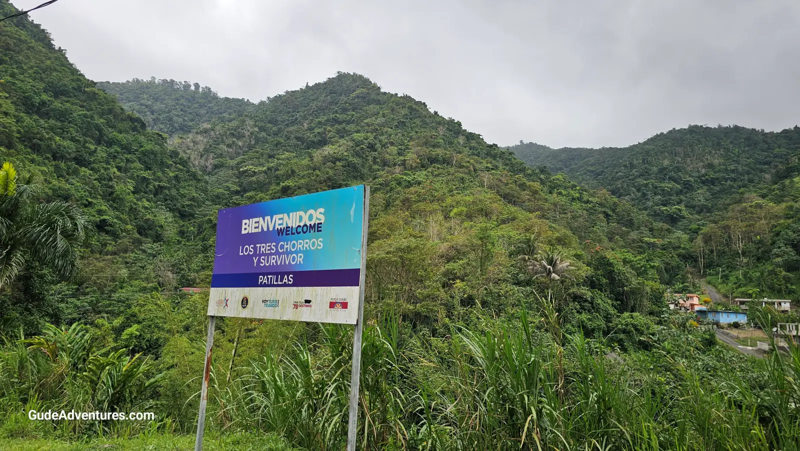
Survivor Falls near Patillas.
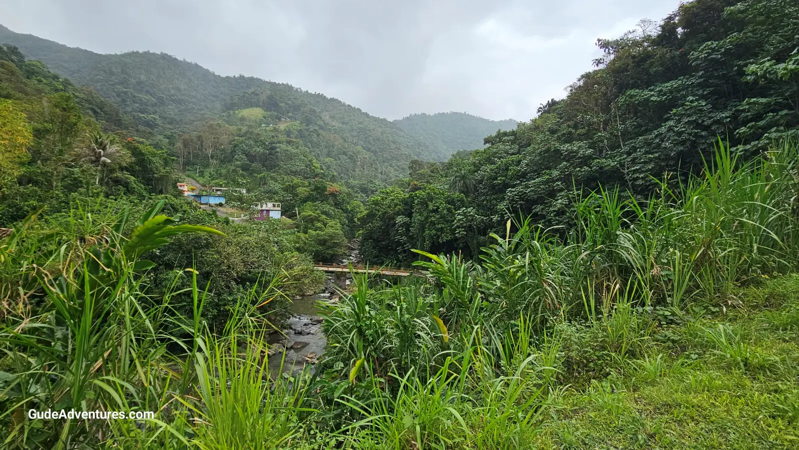
View from the highway towards the bridge near Survivor falls.
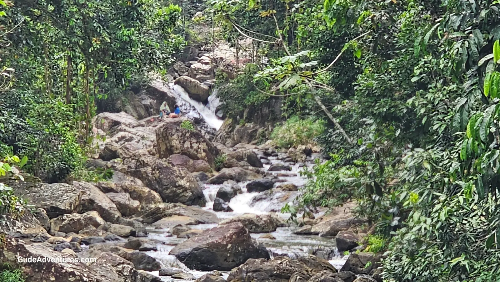
Survivor Falls.
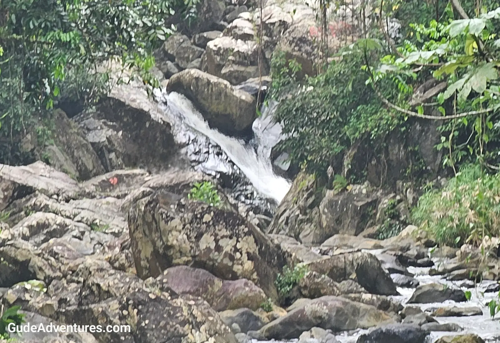
Survivor Falls.
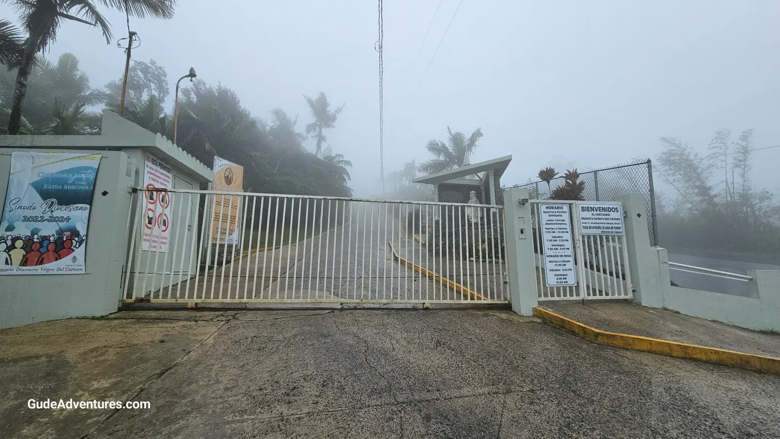
The church at Cerro La Santa which at 2,962 feet is the highest point in the forest.
Click here to view the location on the map.
Nearby places we have visited
- Caguas, Puerto Rico — 8 miles
- Cayey, Puerto Rico — 8 miles
- El Paraíso Agricola de Aguas Buenas, Puerto Rico — 12 miles
- Playa Los Bohios, Puerto Rico — 13 miles
- Point Tuna, Puerto Rico — 13 miles
- La Marquesa Forest Park, Puerto Rico — 14 miles