
What to see and do at the Thingvellir National Park, Iceland


In Pingvellir National Park (Thingvellir) Iceland, You can Walk Between the Continental Plates of Europe and North America
Þingvellir National Park (Thingvellir) is one of Iceland’s most significant natural and historical landmarks. Located in southwestern Iceland, it is not only a UNESCO World Heritage Site due to its historical importance but also a geological wonder. The park is part of the Golden Circle route, along with Gullfoss Waterfall, Kerid Crater, Secret Lagoon, and the Geysir geothermal area, making it one of the country’s most visited destinations.
The park covers an area of about 93 square miles, featuring lakes, rivers, lava fields, and fissures, all set against the backdrop of towering cliffs and mountains. It is located 25 miles northeast of Reykjavík, the capital of Iceland.
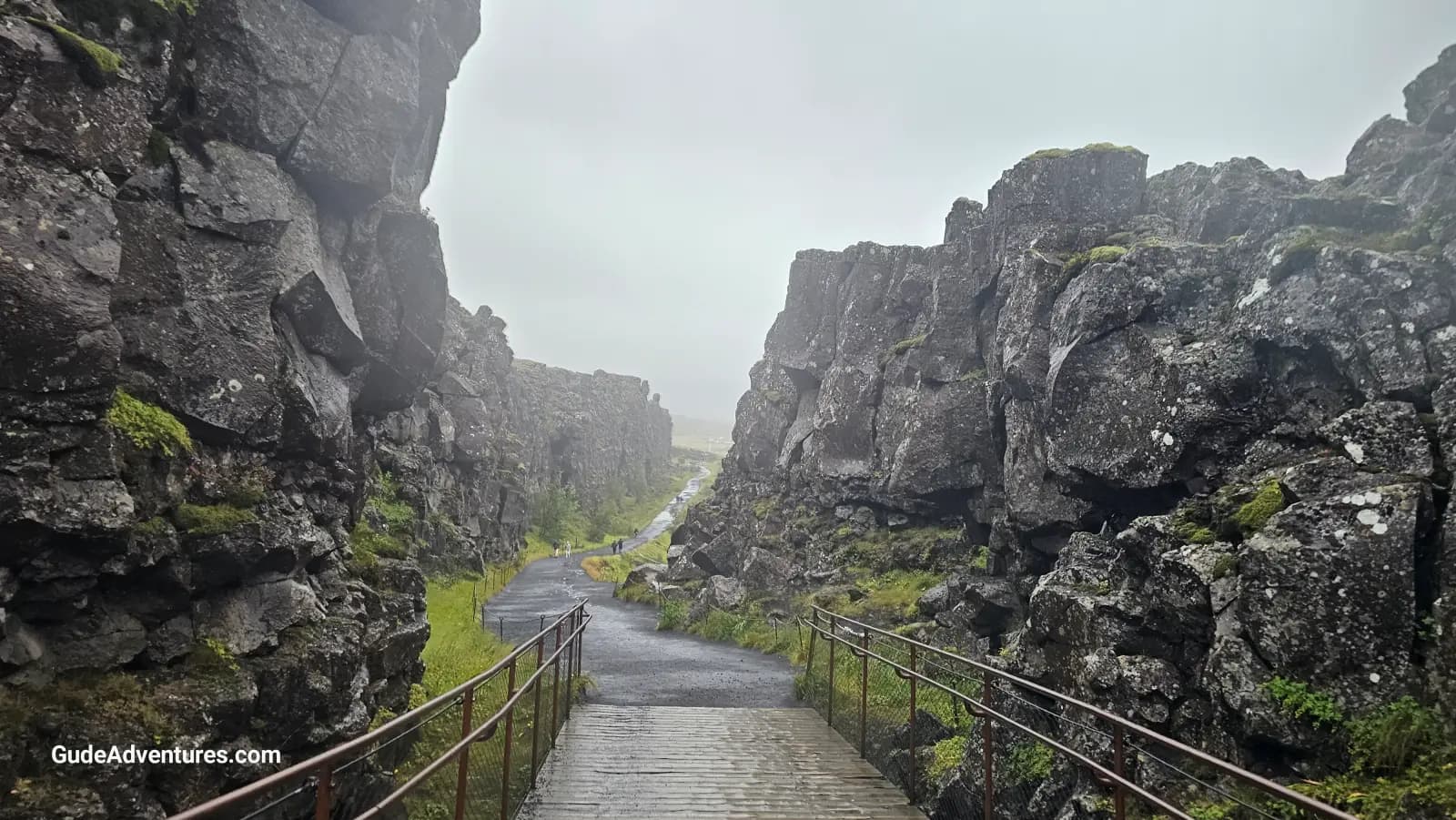
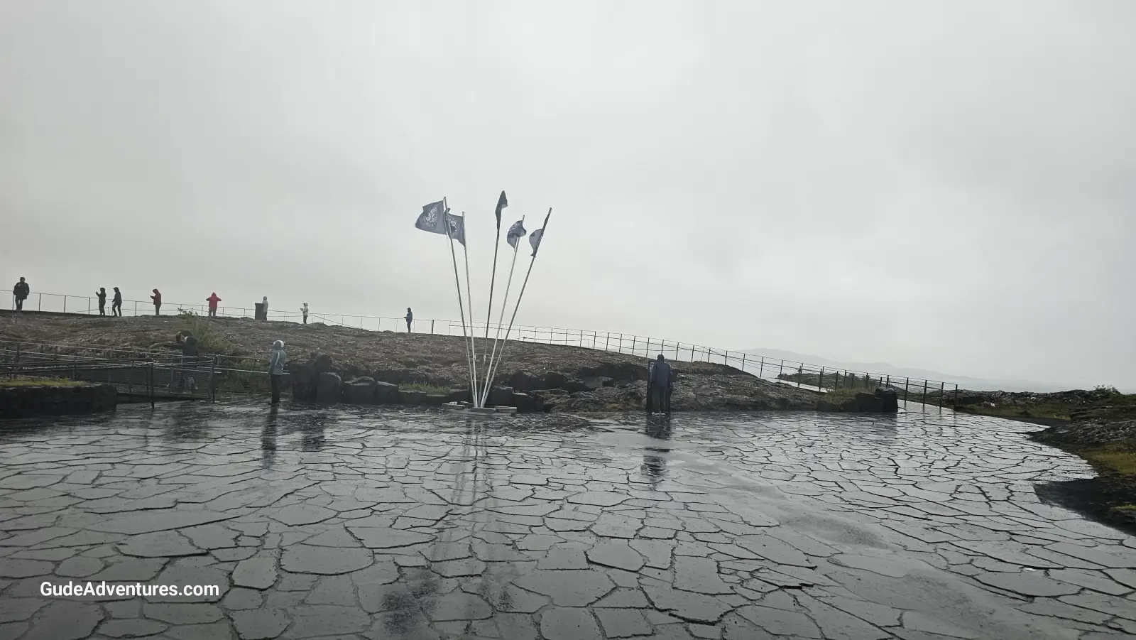
We visited Pingvellir National Park on 8/31/2024 as part of our Golden Circle tour. While there, we walked down the trail through a fissure between the Eurasian and North American continental plates and went to the Visitor Center located there.
Þingvellir is the birthplace of the Alþingi, the world's oldest surviving parliament. It was established in 930 AD, where Icelandic chieftains gathered to settle disputes and make laws. The Alþingi met annually at Þingvellir until 1798, when it was moved to Reykjavík. During these gatherings, laws were recited, and disputes were resolved through a combination of arbitration and traditional Viking justice.
Þingvellir remained a central location in Icelandic history for nearly 900 years. It’s also the site of several major events in Icelandic history, including the adoption of Christianity around 1000 AD and the declaration of Iceland’s independence from Denmark in 1944.
Þingvellir sits at the boundary of two tectonic plates, the Eurasian Plate and the North American Plate, making it one of the few places in the world where you can walk between continental plates. The plates are slowly drifting apart, causing fissures and cracks in the landscape.
One of the most famous features of Þingvellir is the Silfra Fissure, a crack between the North American and Eurasian plates filled with crystal-clear glacial meltwater. This fissure is a popular spot for diving and snorkeling, offering underwater visibility of over 328 feet, thanks to the purity of the water filtered through the surrounding lava rocks.
A dramatic rift formed by the diverging plates, Almannagjá Gorge is one of the park’s most impressive geological features. Visitors can walk through the gorge, which runs alongside the Öxará River and offers stunning views of the surrounding landscape.
Þingvallavatn Lake is Iceland’s largest natural lake, covering an area of about 84 square kilometers (32 square miles). It lies within the national park and is fed by glacial springs. The lake is known for its pristine waters, making it a prime location for fishing and scuba diving, especially around the Silfra fissure. The lake is home to several species of fish, including Arctic char, brown trout, and stickleback, as well as bird species that thrive in and around the lake’s shores.
The Öxará River flows through the park and plunges over the edge of the Almannagjá Gorge to form the Öxarárfoss Waterfall. The river was redirected centuries ago by the settlers to provide fresh water for Alþingi attendees. The waterfall is a popular spot for visitors and is easily accessible from the main paths.
In summary, Þingvellir National Park is a must-visit destination in Iceland, combining rich history, stunning natural beauty, and unique geological features.
Looking for a place to stay? Click here for options.
Viator offers numerous tours in the Golden Circle area. Click here for details.
Pictures from Thingvellir National Park
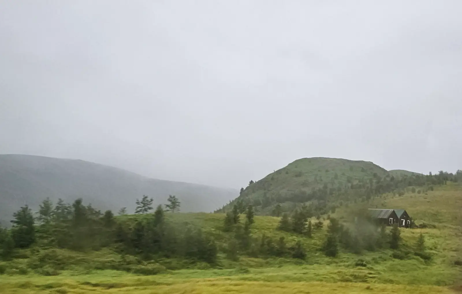
Mountains on the North end of the park.
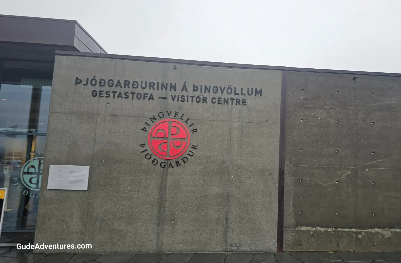
Þingvellir National Park (Thingvellir) Visitor Center at the park.
The edge of the Eurasian continental plate on the East side of the rift.
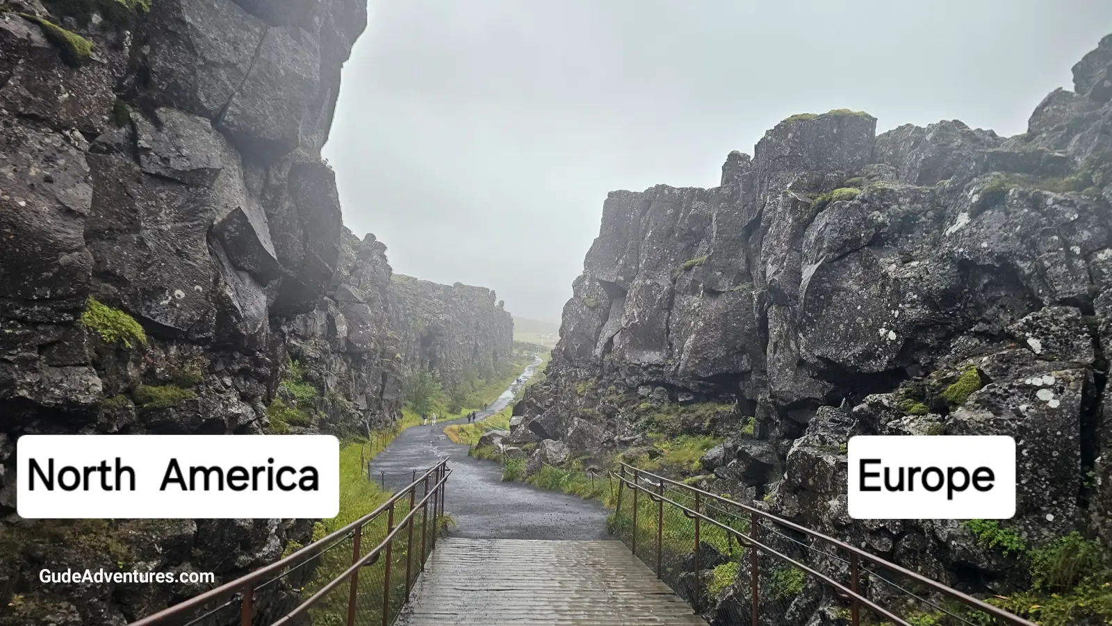
Trail through the Almannagjá Gorge. The Almannagjá Gorge is at the boundary of two tectonic plates, the Eurasian Plate and the North American Plate, making it one of the few places in the world where you can walk between continental plates.
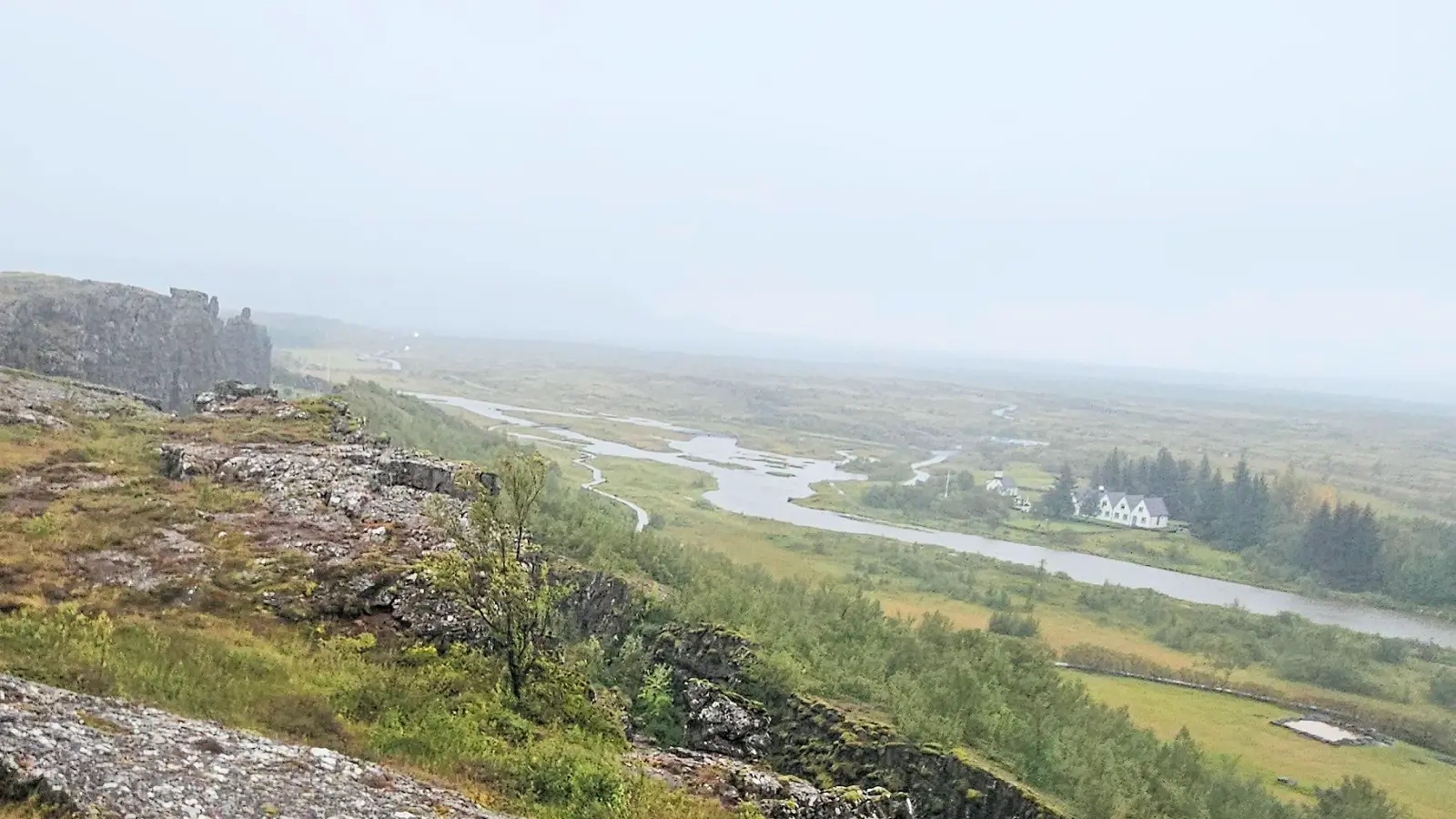
Alþingi is the world's oldest surviving parliament. It was established in 930 AD on the Öxará River. Here Icelandic chieftains gathered to settle disputes and make laws.
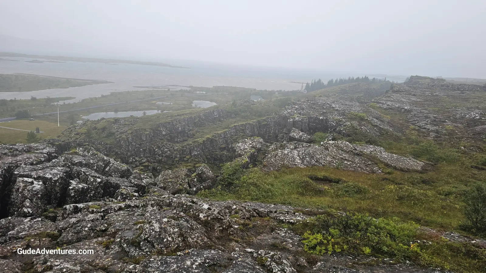
Þingvallavatn Lake is Iceland’s largest natural lake, covering an area of about 32 square miles.
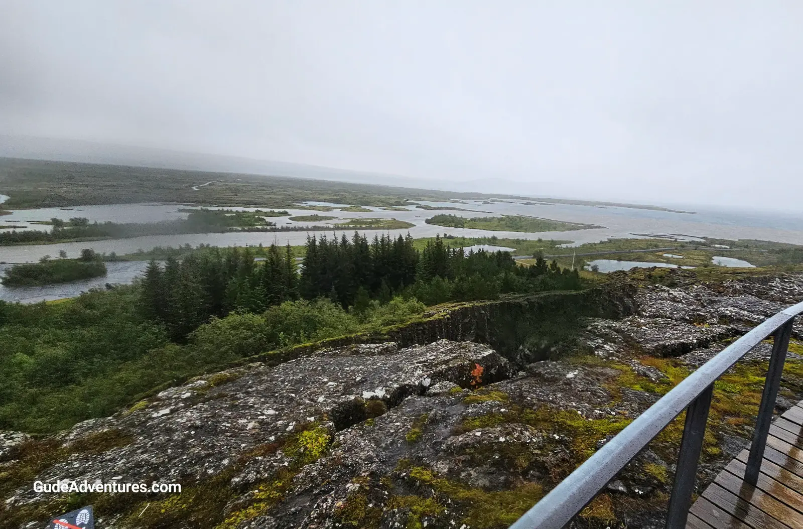
The Öxará River where it enters the Þingvallavatn Lake.
The Law Rock (Logretta) is the site of the original 930 parliament meeting place.